
The Lewis and Clark Expedition: Exploring the Louisiana Territory

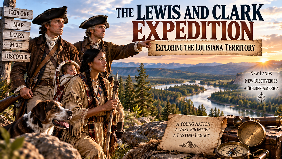
In 1803, the United States completed a deal that dramatically expanded the young nation. The Louisiana Purchase transferred about 828,000 square miles from France to the United States for $15 million, nearly doubling the country's size. President Thomas Jefferson soon supported an expedition to explore the vast region and lands farther west.
Meriwether Lewis and William Clark led the journey that became known as the Lewis and Clark Expedition, or the Corps of Discovery. From 1804 to 1806, the expedition traveled thousands of miles, gathering information about geography, wildlife, plants, and the Native Nations whose homelands stretched across the West.
What was the expedition supposed to accomplish?
Jefferson chose Lewis to lead the expedition, and Lewis asked Clark to join him. Their mission included exploring the Missouri River, searching for a practical route to the Pacific Ocean, making scientific and geographic observations, and establishing relations with Native Nations.
The expedition began traveling up the Missouri River from near St. Louis in May 1804. The Corps carried supplies, scientific equipment, weapons, trade goods, and tools while carefully recording what its members encountered.

Sacagawea joins the Corps of Discovery
During the winter of 1804-1805, the expedition stayed near Mandan and Hidatsa villages in present-day North Dakota. There, the Corps hired French Canadian trader Toussaint Charbonneau as an interpreter. His young Shoshone wife, Sacagawea, and their infant son, Jean Baptiste, joined the expedition when it continued west.
Sacagawea's knowledge became especially valuable when the Corps reached Shoshone territory. She helped with communication, recognized landmarks, and assisted as the expedition sought horses needed to cross the mountains. Her presence also signaled peaceful intentions to some of the Native communities the expedition encountered.

Crossing the mountains and reaching the Pacific
The journey became increasingly difficult as the expedition approached the Rocky Mountains. Lewis and Clark discovered there was no easy continuous water route across the continent. With horses obtained from the Lemhi Shoshone, the Corps crossed the Continental Divide and endured a difficult journey through the Bitterroot Mountains.
They eventually traveled along the Clearwater, Snake, and Columbia rivers. In November 1805, the expedition reached the Pacific region. The Corps built Fort Clatsop near present-day Astoria, Oregon, where it spent the winter before beginning the return journey.

What did Lewis and Clark bring back?
The expedition returned to St. Louis in September 1806 after traveling approximately 8,000 miles round trip. Members produced maps, journals, and observations documenting landscapes, plants, animals, and Native Nations encountered during the journey. Their maps became some of the most detailed American records of the region available at the time.
The expedition's legacy, however, extends beyond exploration. The route crossed the homelands of many Native Nations, and the expedition was part of a broader period of U.S. expansion that brought profound consequences for Indigenous peoples. The historic trail today passes through the homelands of more than 60 Tribal Nations.
Lewis and Clark's journey expanded American geographic and scientific knowledge while strengthening U.S. interest in the West. It also marked an early stage in a much larger process of westward expansion that would transform the land and the lives of the people already living there.
Comments